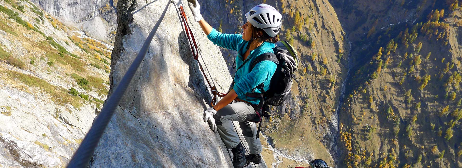
Via Ferrata Baltschieder valley
This is a beautiful climb to the Wiwannihut, but also exhausting and adventurous.
This very bold line is unsuitable for people looking for a short adrenaline rush or an iron trail. We strongly advise not to go on this tour, if you aren’t well prepared. The climb is conditionally almost as exhausting as the ascent of the Matterhorn and also highly recommended as a training tour for it. Since it is a total of 1550 meters in altitude from the train station in Ausserberg to the Wiwannihütte, the via Ferrata is only for very well-trained, sporty mountaineers.
People that enjoy a stunning, scenically very beautiful, exposed and severe climb, are thrilled.
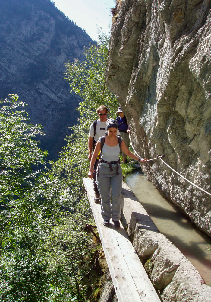
Already the access along the historical water pipes (Niwärch of Ausserberg or Gorperi of Eggerberg) is magnificent.
General information
● Functional via ferrata equipment.
● Make sure to be protecting fauna and flora it’s a landscape protection area.
● Fixed ropes and chains may have been damaged by stone chipping or snow loads. The climbers have to be able to judge for themselves whether a rope or a chain is still in a good condition and commit the via Ferrata on their responsibility.
The via Ferrata is located in a wild, pristine landscape of the highest biodiversity: the Baltschiedertal has been under protection for years and is a federal hunting district. We endeavour to keep it that way, hoping that the climbers will have the necessary respect for this wild landscape.
National Maps: 1: 25,000 of Raron.
Starting point: Ausserberg or Eggerberg (very easy to reach by public transport).
Access: The into the Baltschiedertal goes along the historic water pipes at “Niwärch” or from Eggerberg rising over the “Goperi”. Then follow the path to about 1km before the “inner Senntum”. 1470 müm. Follow the White-blue-white markings for about 320 meters to the entrance, which is located about 100m to the right of the big ditch.
Entry coordinates are 133 100/633 300. At about 1790 m.A.S.L Marked.
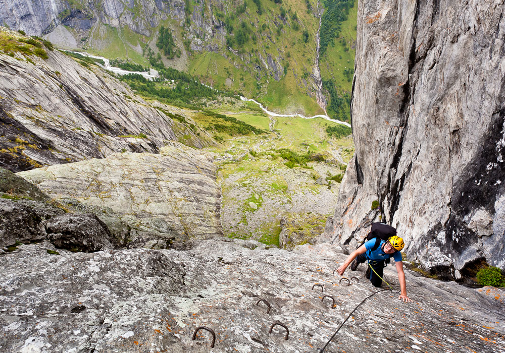
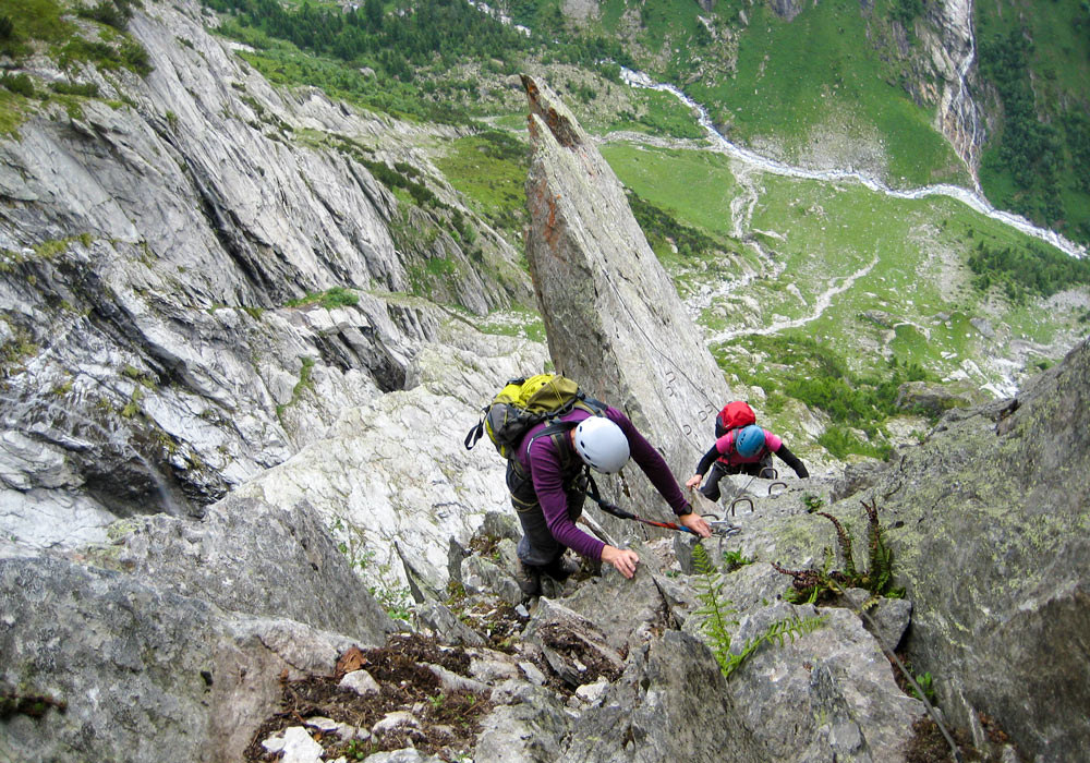
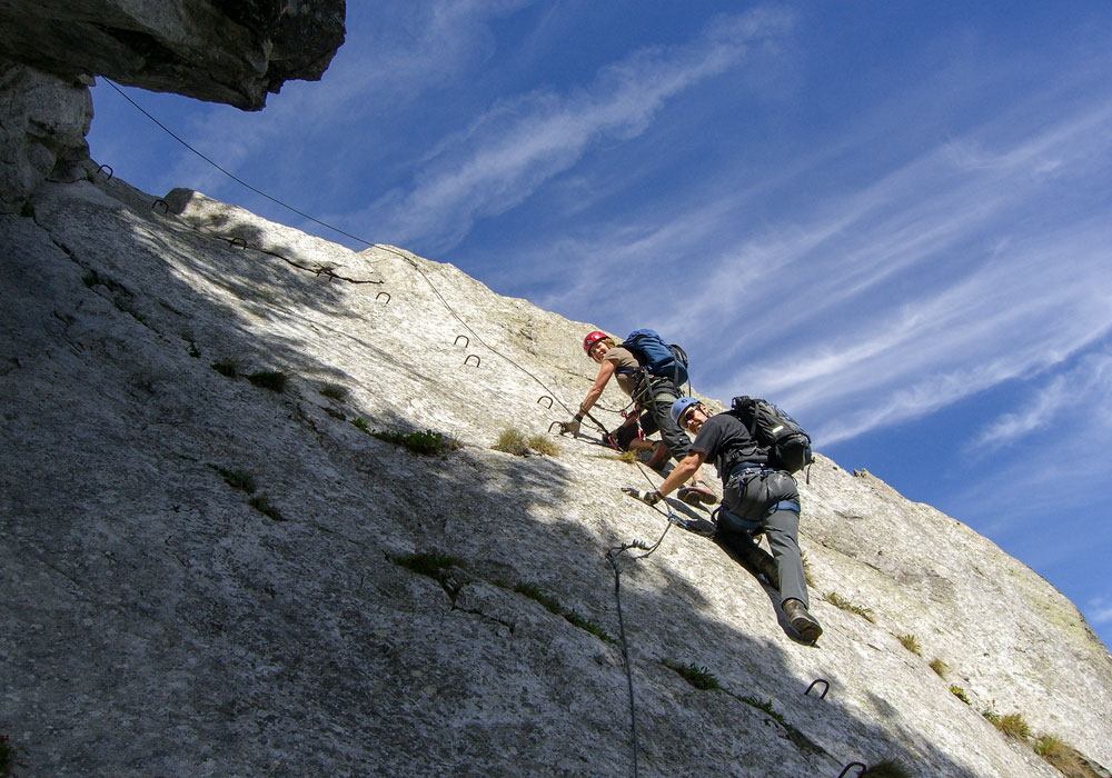
Route: Follow the fixed ropes and the route can not be missed. The first and last part are the most difficult parts (very steep). The middle part is easier.
The end of the via Ferrata is at the height of the Wiwannihut 2470 m.A.S.L. In the early summer of July, the last traverse to the Wiwannihütte might still be covered by a very steep snowfield. In this case, it is recommended to climb up about 50 meters further and avoid this firn field.
Accommodation Information and registration directly at the Wiwannihut:
+41 (0)27 946 74 78 or info@wiwanni.ch
Most ideal time: In the summer, from the end of May until the fall. In winter and spring the tour is not recommended (avalanche danger).